


Autour des Puys VTTAE

duchaine.nicolas
User


3h31
Difficulty : Easy
3h31
Difficulty : Easy

FREE GPS app for hiking
 SityTrail
IGN / Geographical institutes
SityTrail Plus
The world is yours!
About
Trail Mountain bike of 42 km to be discovered at Auvergne-Rhône-Alpes, Puy-de-Dôme, Saint-Genès-Champanelle. This trail is proposed by duchaine.nicolas.
Description
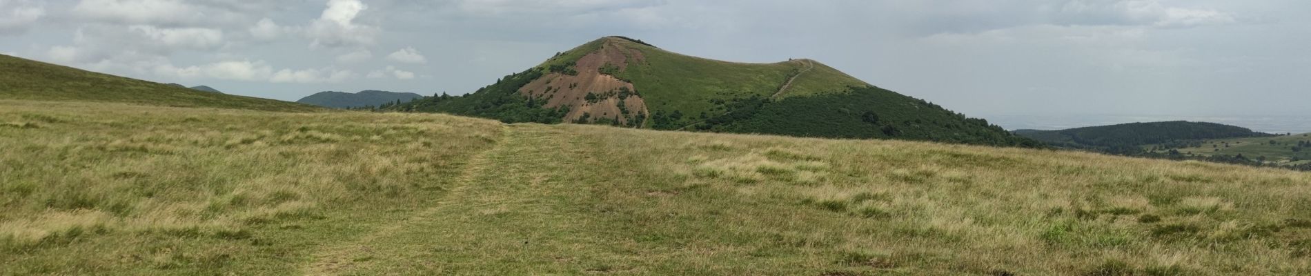
Belle balade entre les puys au départ de Beaune le Chaud en passant par le col de Ceyssat puis en tournant autour du Puy de Dome et du Puy Pariou. Le retour se fait par des puys plus au sud comme celui de Mercoeur ou de la Vache.
Photos


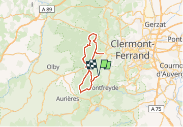
Positioning
Comments