


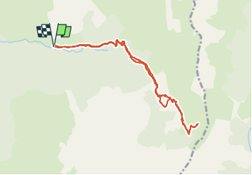

10.3 km | 16.8 km-effort

User


FREE GPS app for hiking
 SityTrail
IGN / Geographical institutes
SityTrail World
The world is yours!
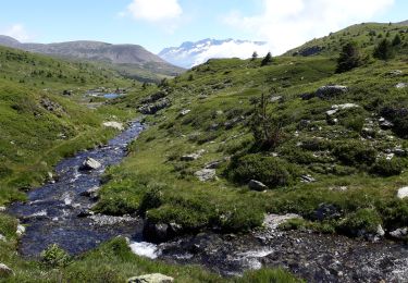
Trail Walking of 10.6 km to be discovered at Auvergne-Rhône-Alpes, Isère, Lavaldens. This trail is proposed by patjobou.
Itinéraire agréable dans un vallon peu connu et peu fréquenté, en grande partie ombragé, parfait pour fortes chaleurs.


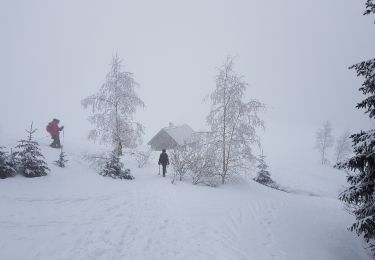
Snowshoes
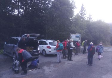
Walking
Walking
On foot
On foot
Touring skiing
Walking
Walking

Walking