Trail Walking Belmont - Champ du feu - Col de la Charbonnière - Belmont  - Photo

Champ du feu - Col de la Charbonnière - Belmont

© OpenStreetMap contributors
Length
Length
11.6 km
Max alt
Max alt
1101 m
Uphill gradient
Uphill gradient
377 m
Km-Effort
Km-Effort  
16.6 km
Min alt
Min alt
800 m
Downhill gradient
Downhill gradient
378 m
Boucle
Boucle
Yes
Creation date :
2022-06-12 08:14:07.499
Updated on :
2022-07-06 17:14:29.803

(0 Reviews)

Walking
Walking
3h03
Difficulty : Medium

Scan this QR Code to open this trail in the SityTrail application

FREE GPS app for hiking

Logo SityTrail SityTrail

IGN / Geographical institutes

Download SityTrail from the App Store Download SityTrail from Google Play

Logo SityTrail SityTrail World

The world is yours!

Download SityTrail from the App Store Download SityTrail from Google Play Download SityTrail on Huawei AppGallery

About

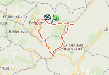
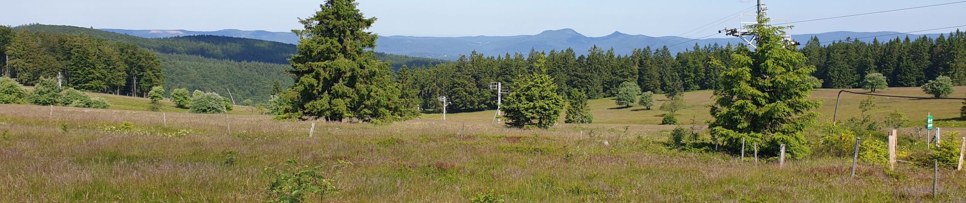
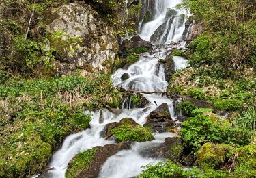
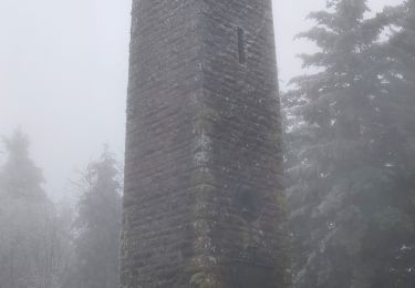
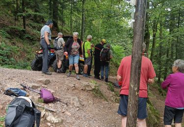
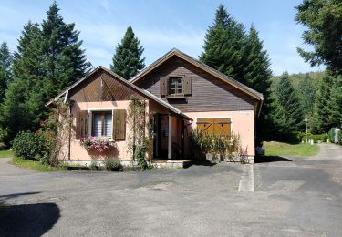
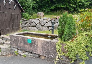
Trail Walking of 11.6 km to be discovered at Grand Est, Bas-Rhin, Belmont. This trail is proposed by VacheKiri67.

Description

Faite le 12/06/2022. D'après "Chamina Edition - Balades à pied Bas-Rhin - 16 : Le Champ du Feu". Durée indiquée pour le circuit : 4h00.

Elevation profile

Photos

Positioning

Country:
France
Region :
Grand Est
Department/Province :
Bas-Rhin
Municipality :
Belmont
Location:
Unknown
Start:(UTM)
370941 ; 5363055 (32U) N.

Trails nearby

Trail Walking Le Hohwald - suuntoapp-Hiking-2024-04-27T09-12-29Z - Photo
Walking
GUIDE
holtzv

Walking

Medium
Le Hohwald, Grand Est, Bas-Rhin, France
20 km | 31 km-effort
6h 58min
Yes
Trail Walking Solbach - Rando Solbach  - Photo
Walking
enciloti

Walking

Medium
(1)
Solbach, Grand Est, Bas-Rhin, France
4.6 km | 6.6 km-effort
1h 29min
Yes
Trail Walking Ranrupt - 2018-12-30 Marche Climont Voyemont - Photo
Walking
GUIDE
holtzv

Walking

Very easy
Ranrupt, Grand Est, Bas-Rhin, France
22 km | 33 km-effort
7h 21min
Yes
Trail Walking Le Hohwald - Tour du Hohwald - Photo
Walking
zazie

Walking

Medium
(1)
Le Hohwald, Grand Est, Bas-Rhin, France
8 km | 11.3 km-effort
2h 26min
Yes
Trail Horseback riding Belmont - Circuit VC Serva - Le Climont - Photo
Horseback riding
GUIDE+

Horseback riding

Medium
Belmont, Grand Est, Bas-Rhin, France
23 km | 33 km-effort
4h 20min
No
Trail Horseback riding Belmont - Circuit VC Le Hohwald - Serva - Photo
Horseback riding
GUIDE+

Horseback riding

Medium
Belmont, Grand Est, Bas-Rhin, France
16.2 km | 22 km-effort
2h 50min
No
Trail Walking Natzwiller - visite  - Photo
Walking
Thierry Cotty

Walking

Medium
Natzwiller, Grand Est, Bas-Rhin, France
7.1 km | 11.8 km-effort
2h 49min
Yes
Trail Walking Le Hohwald - le hohwald, boucle
Walking
bemurix

Walking

Easy
Le Hohwald, Grand Est, Bas-Rhin, France
3.4 km | 4.8 km-effort
55min
Yes
Trail Walking Bellefosse - Col de la Charbonnière - château de la Roche - Bellefosse - Belmont - Photo
Walking
Bart2015

Walking

Very difficult
Bellefosse, Grand Est, Bas-Rhin, France
15.7 km | 24 km-effort
5h 27min
Yes


Close
My subscriptions