


Circuit des Eaux Tortes

Dervalmarc
User
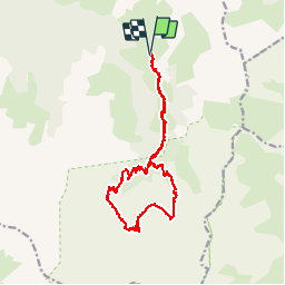

Length
20 km

Max alt
2286 m

Uphill gradient
709 m
Km-Effort
30 km

Min alt
1639 m

Downhill gradient
707 m
Boucle
Yes
Creation date :
2014-12-10 00:00:00.0
Updated on :
2014-12-10 00:00:00.0
5h04
Difficulty : Medium

FREE GPS app for hiking
 SityTrail
IGN / Geographical institutes
SityTrail Plus
The world is yours!
About
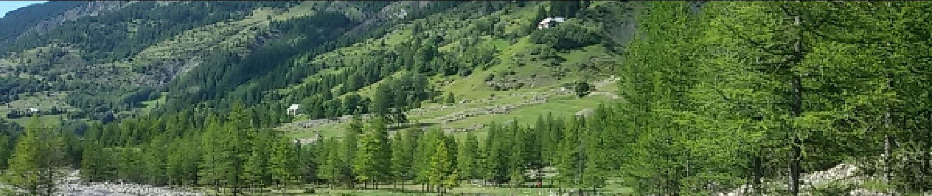
Trail Walking of 20 km to be discovered at Provence-Alpes-Côte d'Azur, Alpes-de-Haute-Provence, Méolans-Revel. This trail is proposed by Dervalmarc.
Description
belle randonnée mais très longue. Prévoir 20 kilomètres.
Photos


Positioning
Country:
France
Region :
Provence-Alpes-Côte d'Azur
Department/Province :
Alpes-de-Haute-Provence
Municipality :
Méolans-Revel
Location:
Unknown
Start:(Dec)
Start:(UTM)
302059 ; 4912586 (32T) N.
Comments