


lhez les ponts G4 2022

LouisROGER
User GUIDE
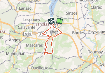

Length
11.9 km

Max alt
441 m

Uphill gradient
268 m
Km-Effort
15.5 km

Min alt
271 m

Downhill gradient
266 m
Boucle
Yes
Creation date :
2022-06-24 07:06:54.891
Updated on :
2022-06-24 12:26:37.815
5h17
Difficulty : Difficult

FREE GPS app for hiking
 SityTrail
IGN / Geographical institutes
SityTrail Plus
The world is yours!
About
Trail Walking of 11.9 km to be discovered at Occitania, Hautespyrenees, Lhez. This trail is proposed by LouisROGER.
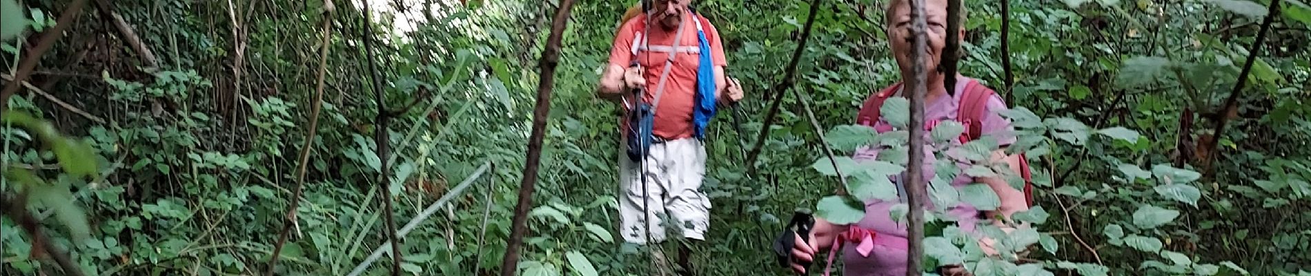
Photos

Positioning
Country:
France
Region :
Occitania
Department/Province :
Hautespyrenees
Municipality :
Lhez
Location:
Unknown
Start:(Dec)
Start:(UTM)
272296 ; 4787343 (31T) N.
Comments