


Tour du Champ du Feu

VacheKiri67
User
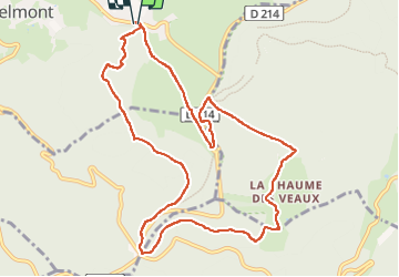

Length
10.9 km

Max alt
1101 m

Uphill gradient
311 m
Km-Effort
15.1 km

Min alt
918 m

Downhill gradient
313 m
Boucle
Yes
Creation date :
2022-06-25 08:31:57.486
Updated on :
2022-07-06 16:50:58.391
2h57
Difficulty : Easy

FREE GPS app for hiking
 SityTrail
IGN / Geographical institutes
SityTrail Plus
The world is yours!
About
Trail Walking of 10.9 km to be discovered at Grand Est, Bas-Rhin, Belmont. This trail is proposed by VacheKiri67.
Description
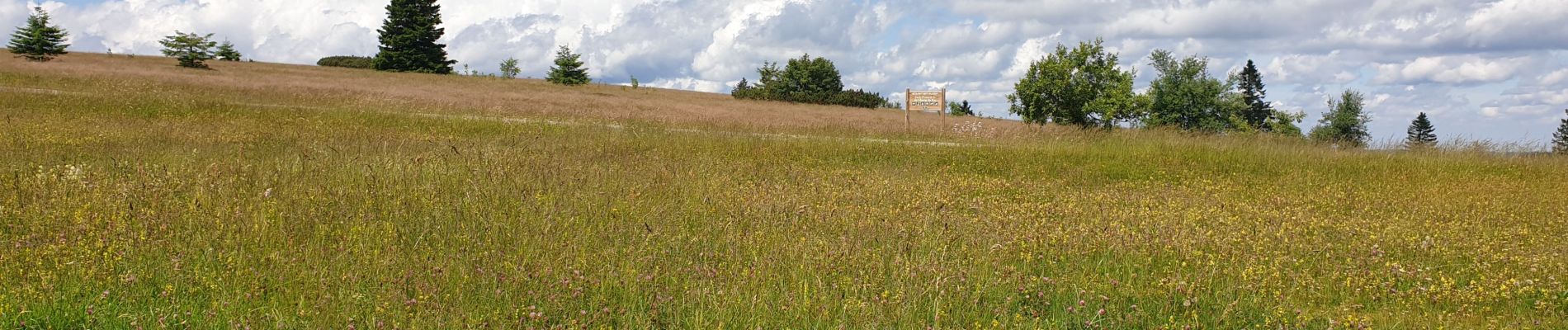
Faite le 25/06/2022. Au départ de la Serva.
Photos


31 photos in total. Please click on a photo to see them all in the gallery.
Positioning
Country:
France
Region :
Grand Est
Department/Province :
Bas-Rhin
Municipality :
Belmont
Location:
Unknown
Start:(Dec)
Start:(UTM)
371016 ; 5363057 (32U) N.
Comments