


Heiligkreuz

steger12
User
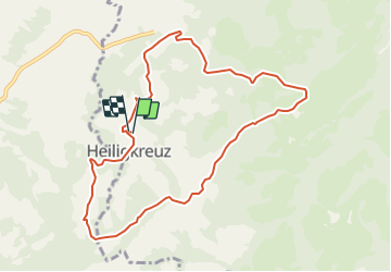

Length
9.5 km

Max alt
1436 m

Uphill gradient
450 m
Km-Effort
15.5 km

Min alt
1008 m

Downhill gradient
452 m
Boucle
Yes
Creation date :
2014-12-10 00:00:00.0
Updated on :
2014-12-10 00:00:00.0
--
Difficulty : Unknown

FREE GPS app for hiking
 SityTrail
IGN / Geographical institutes
SityTrail Plus
The world is yours!
About
Trail Other activity of 9.5 km to be discovered at Luzern, Unknown, Hasle (LU). This trail is proposed by steger12.
Positioning
Country:
Switzerland
Region :
Luzern
Department/Province :
Unknown
Municipality :
Hasle (LU)
Location:
Unknown
Start:(Dec)
Start:(UTM)
427673 ; 5199978 (32T) N.
Comments