


Beaulieu-en-Argonne

VANDERPUTTENMi
User GUIDE
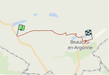

Length
4.4 km

Max alt
279 m

Uphill gradient
134 m
Km-Effort
5.9 km

Min alt
206 m

Downhill gradient
70 m
Boucle
No
Creation date :
2022-06-25 19:25:04.325
Updated on :
2022-06-30 14:03:24.469
1h20
Difficulty : Easy

FREE GPS app for hiking
 SityTrail
IGN / Geographical institutes
SityTrail Plus
The world is yours!
About
Trail Walking of 4.4 km to be discovered at Grand Est, Meuse, Beaulieu-en-Argonne. This trail is proposed by VANDERPUTTENMi.
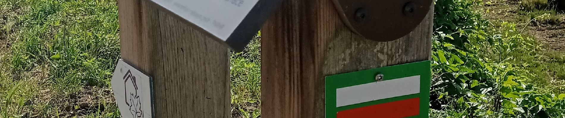
Photos

Positioning
Country:
France
Region :
Grand Est
Department/Province :
Meuse
Municipality :
Beaulieu-en-Argonne
Location:
Unknown
Start:(Dec)
Start:(UTM)
648366 ; 5433388 (31U) N.
Comments