


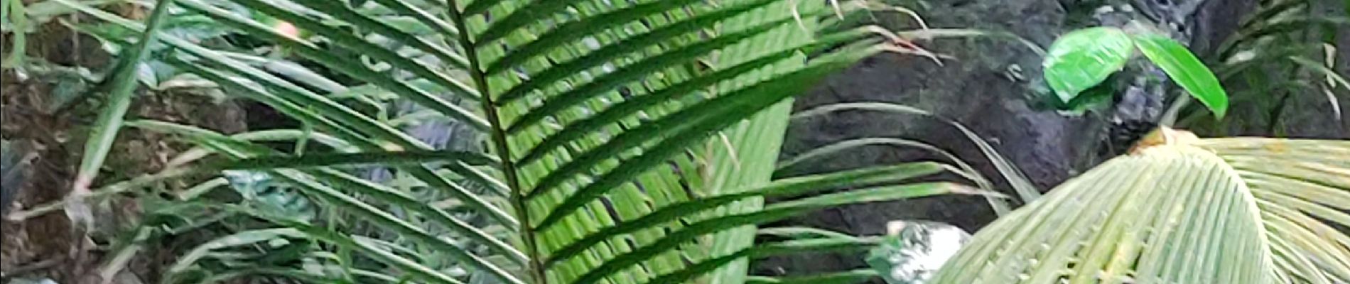
Boucle de chalvet, Pécoule vers Chalvet.

GabyG
User GUIDE
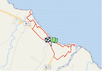


3h02
Difficulty : Medium

FREE GPS app for hiking
 SityTrail
IGN / Geographical institutes
SityTrail Plus
The world is yours!
About
Trail Walking of 6.5 km to be discovered at Martinique, Unknown, Basse-Pointe. This trail is proposed by GabyG.
Description
Randonnée de famille, en quittant le parking de Chalvet vers le site de fév. 74 ! faire une petite jonction vers l'embouchure de la rivière Capote, puis revenir vers le site et poursuivre sa randonnée. Arrivé à Pécoule avec un peut de temps devant soi, se rendre vers l'embouchure de la rivière Poquet, puis revenir vers l'Habitation Pécoule pour terminer la randonnée vers Chalvet.
Photos


Positioning
Comments