


Rhone

Henri.Vekemans
User

Length
1.8 km

Max alt
239 m

Uphill gradient
5 m
Km-Effort
1.9 km

Min alt
229 m

Downhill gradient
13 m
Boucle
No
Creation date :
2022-06-28 15:43:59.209
Updated on :
2022-06-28 16:09:57.924
25m
Difficulty : Easy

FREE GPS app for hiking
 SityTrail
IGN / Geographical institutes
SityTrail Plus
The world is yours!
About
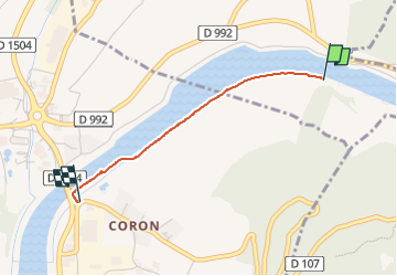
Trail Walking of 1.8 km to be discovered at Auvergne-Rhône-Alpes, Ain, Magnieu. This trail is proposed by Henri.Vekemans.
Positioning
Country:
France
Region :
Auvergne-Rhône-Alpes
Department/Province :
Ain
Municipality :
Magnieu
Location:
Magnieu
Start:(Dec)
Start:(UTM)
712128 ; 5071031 (31T) N.
Comments