


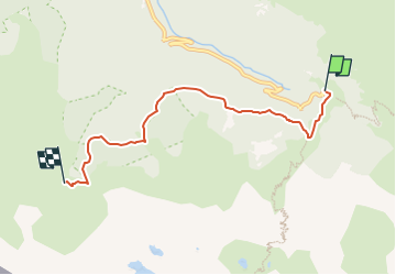

14.1 km | 31 km-effort


User


FREE GPS app for hiking
 SityTrail
IGN / Geographical institutes
SityTrail World
The world is yours!
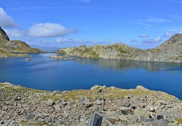
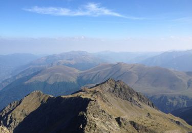
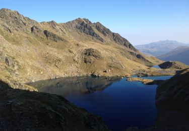
Trail Walking of 5.4 km to be discovered at Occitania, Haute-Garonne, Bagnères-de-Luchon. This trail is proposed by ego .
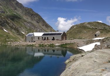
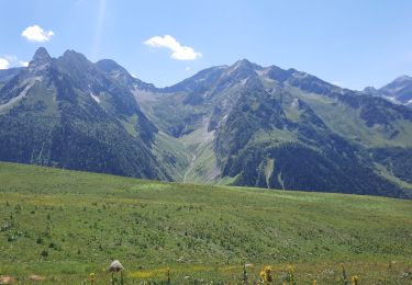
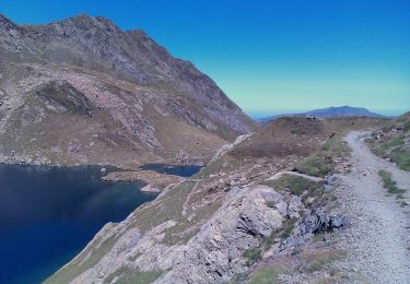
très beau parcours en foret principalement , l'impératrice c'est Eugenie...

Walking

Walking
Walking
Walking
Walking
On foot
On foot
On foot
On foot