


LAMBESC est

didierc13
User

Length
8.2 km

Max alt
258 m

Uphill gradient
106 m
Km-Effort
9.6 km

Min alt
204 m

Downhill gradient
103 m
Boucle
Yes
Creation date :
2022-06-29 04:24:44.0
Updated on :
2022-06-29 06:03:07.145
1h37
Difficulty : Medium
10m
Difficulty : Very easy

FREE GPS app for hiking
 SityTrail
IGN / Geographical institutes
SityTrail Plus
The world is yours!
About
Trail Walking of 8.2 km to be discovered at Provence-Alpes-Côte d'Azur, Bouches-du-Rhône, Lambesc. This trail is proposed by didierc13.
Description
Une petite difficulté pour traverser sous la D7 en sortie de village
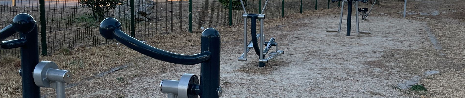
Photos


Positioning
Country:
France
Region :
Provence-Alpes-Côte d'Azur
Department/Province :
Bouches-du-Rhône
Municipality :
Lambesc
Location:
Unknown
Start:(Dec)
Start:(UTM)
682380 ; 4835810 (31T) N.
Comments