


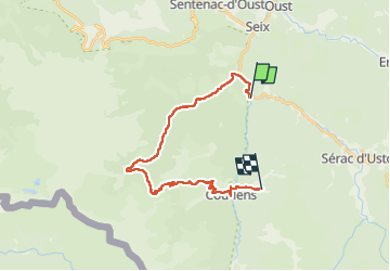
2022_07_28_Pont de la Taule-Rouze d'en Bas

Chamois30
User


7h07
Difficulty : Difficult

FREE GPS app for hiking
 SityTrail
IGN / Geographical institutes
SityTrail Plus
The world is yours!
About
Trail Walking of 25 km to be discovered at Occitania, Ariège, Seix. This trail is proposed by Chamois30.
Description
Attention le sentier entre la cabane forestière de l'Artigue et le col de la Pause, n'est plus praticable dans la zone centrale où une grande partie des hêtres ont été déracinés. Un coup de vent ?
Les orties hautes ont envahi cette zone. La progression est pénible et piquante.
Je déconseille ce sentier. Sauf si il est restauré un jour ,
Positioning
Comments