


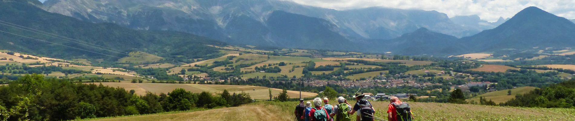
Esclops Trièves Tour de Mens

TOULAUDIN
User
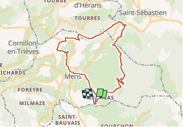

Length
17.7 km

Max alt
1103 m

Uphill gradient
647 m
Km-Effort
26 km

Min alt
755 m

Downhill gradient
648 m
Boucle
Yes
Creation date :
2022-06-29 06:36:56.949
Updated on :
2022-07-12 16:01:18.731
6h40
Difficulty : Easy

FREE GPS app for hiking
 SityTrail
IGN / Geographical institutes
SityTrail Plus
The world is yours!
About
Trail Walking of 17.7 km to be discovered at Auvergne-Rhône-Alpes, Isère, Mens. This trail is proposed by TOULAUDIN.
Description
rando facile dans la semaine Esclops Triève
Photos


Positioning
Country:
France
Region :
Auvergne-Rhône-Alpes
Department/Province :
Isère
Municipality :
Mens
Location:
Unknown
Start:(Dec)
Start:(UTM)
718747 ; 4964811 (31T) N.
Comments