


Nord de LAMBESC

didierc13
User
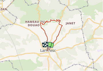

Length
10.3 km

Max alt
368 m

Uphill gradient
189 m
Km-Effort
12.9 km

Min alt
200 m

Downhill gradient
184 m
Boucle
No
Creation date :
2022-06-30 04:21:53.0
Updated on :
2022-06-30 06:19:33.839
1h57
Difficulty : Medium

FREE GPS app for hiking
 SityTrail
IGN / Geographical institutes
SityTrail Plus
The world is yours!
About
Trail Walking of 10.3 km to be discovered at Provence-Alpes-Côte d'Azur, Bouches-du-Rhône, Lambesc. This trail is proposed by didierc13.
Description
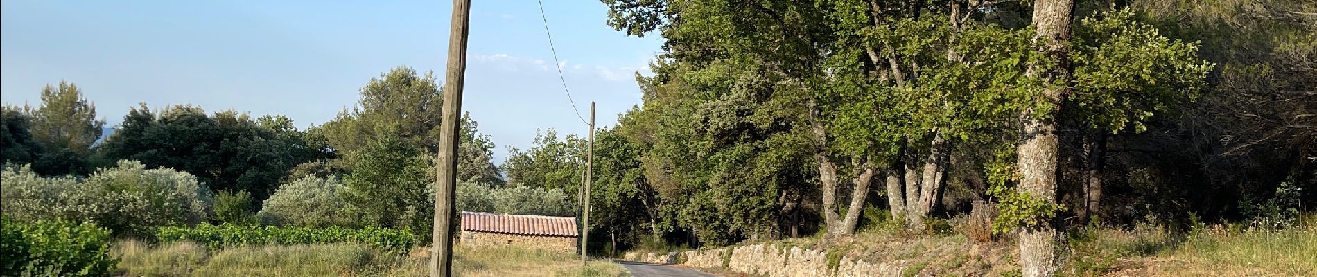
Belle vue sur les massifs de la Sainte Baume et de la Sainte Victoire
Photos


Positioning
Country:
France
Region :
Provence-Alpes-Côte d'Azur
Department/Province :
Bouches-du-Rhône
Municipality :
Lambesc
Location:
Unknown
Start:(Dec)
Start:(UTM)
682313 ; 4835869 (31T) N.
Comments