


lac fourchu

Liebeaux
User
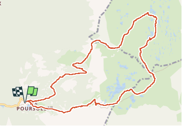

Length
13.6 km

Max alt
2121 m

Uphill gradient
624 m
Km-Effort
22 km

Min alt
1637 m

Downhill gradient
624 m
Boucle
Yes
Creation date :
2022-06-30 06:51:47.237
Updated on :
2022-07-01 07:19:00.287
6h08
Difficulty : Very difficult

FREE GPS app for hiking
 SityTrail
IGN / Geographical institutes
SityTrail Plus
The world is yours!
About
Trail Walking of 13.6 km to be discovered at Auvergne-Rhône-Alpes, Isère, Livet-et-Gavet. This trail is proposed by Liebeaux.
Positioning
Country:
France
Region :
Auvergne-Rhône-Alpes
Department/Province :
Isère
Municipality :
Livet-et-Gavet
Location:
Unknown
Start:(Dec)
Start:(UTM)
728206 ; 4992912 (31T) N.
Comments