Trail Walking Mâcon - Macon Cluny Chalon Macon 148km - Photo

Macon Cluny Chalon Macon 148km

 thonyc
thonyc

User GUIDE

© OpenStreetMap contributors
Length
Length
148 km
Max alt
Max alt
430 m
Uphill gradient
Uphill gradient
1245 m
Km-Effort
Km-Effort  
165 km
Min alt
Min alt
164 m
Downhill gradient
Downhill gradient
1244 m
Boucle
Boucle
Yes
Creation date :
2022-07-01 09:18:32.994
Updated on :
2022-07-14 06:50:43.935

(0 Reviews)

Walking
Walking
13h44
Difficulty : Medium

Scan this QR Code to open this trail in the SityTrail application

FREE GPS app for hiking

Logo SityTrail SityTrail

IGN / Geographical institutes

Download SityTrail from the App Store Download SityTrail from Google Play

Logo SityTrail SityTrail World

The world is yours!

Download SityTrail from the App Store Download SityTrail from Google Play Download SityTrail on Huawei AppGallery

About

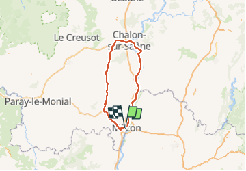
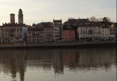
Trail Walking of 148 km to be discovered at Bourgogne-Franche-Comté, Saône-et-Loire, Mâcon. This trail is proposed by thonyc.
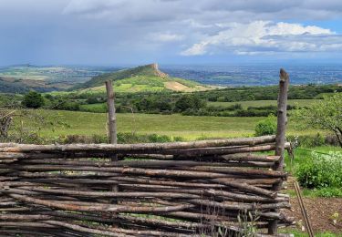
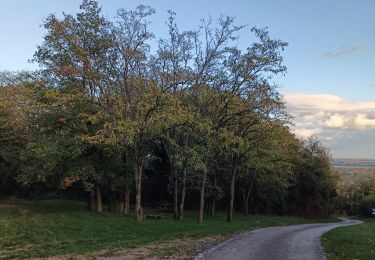
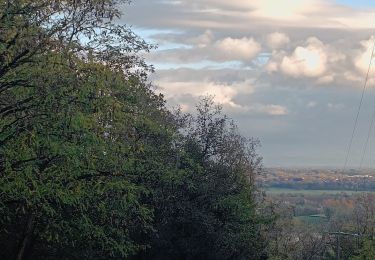
Description

Très joli parcours.
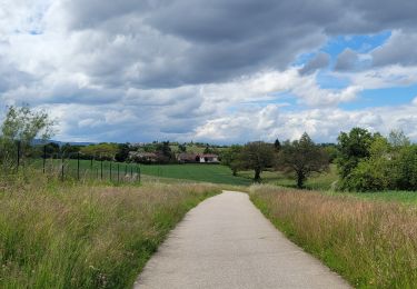
Voie Verte: Mâcon-Cluny-Cormatin-Châlon.
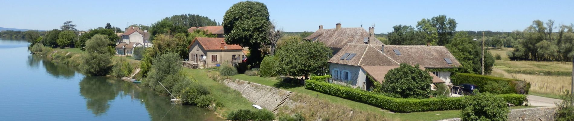
Voie Bleue la Saône: Châlon-Tournus-Mâcon.
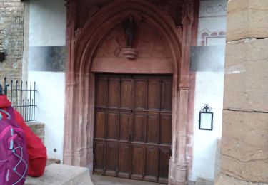
A visiter: Abbaye de Cluny, château de Cormatin

Elevation profile

Photos

Positioning

Country:
France
Region :
Bourgogne-Franche-Comté
Department/Province :
Saône-et-Loire
Municipality :
Mâcon
Location:
Unknown
Start:(UTM)
640589 ; 5129300 (31T) N.

Trails nearby

Trail sport Replonges - 2023-12-17_13h47m13_retour_a_laiz-18080067-1702813386-845-1 - Photo
sport
Pascale Pâris

sport

Very easy
(1)
Replonges, Auvergne-Rhône-Alpes, Ain, France
17.9 km | 19.8 km-effort
Unknown
No
Trail Walking Vinzelles - Vinzelles - Photo
Walking
janussity

Walking

Easy
(1)
Vinzelles, Bourgogne-Franche-Comté, Saône-et-Loire, France
7.8 km | 10.1 km-effort
2h 6min
Yes
Trail Walking Mâcon - Séjour RCY Les Crêtes du Haut Beaujolais -  - Photo
Walking
chessyca

Walking

Very easy
Mâcon, Bourgogne-Franche-Comté, Saône-et-Loire, France
9 km | 10.2 km-effort
1h 54min
No
Trail Walking Mâcon - Sejour RCY : Les crêtes du Haut Beaujolais journée 1 - Photo
Walking
chessyca

Walking

Very difficult
Mâcon, Bourgogne-Franche-Comté, Saône-et-Loire, France
23 km | 35 km-effort
5h 57min
No
Trail Walking Saint-Laurent-sur-Saône - Autour de St Laurent sur Saône - Photo
Walking
robertdurand

Walking

Very easy
Saint-Laurent-sur-Saône, Auvergne-Rhône-Alpes, Ain, France
5 km | 5.4 km-effort
1h 22min
Yes
Trail Mountain bike Saint-Laurent-sur-Saône - De Breurey lès Faverney à Vignieu en VTT- Étape 5/6 - Photo
Mountain bike
tracegps

Mountain bike

Medium
Saint-Laurent-sur-Saône, Auvergne-Rhône-Alpes, Ain, France
83 km | 93 km-effort
9h 10min
No
Trail Walking Sancé - petit tour dans les bois. - Photo
Walking
Lillie Zennily

Walking

Easy
Sancé, Bourgogne-Franche-Comté, Saône-et-Loire, France
8.9 km | 10.8 km-effort
1h 57min
Yes
Trail Walking Sancé - sennecey-lès-mâcon - Photo
Walking
liviniki

Walking

Easy
Sancé, Bourgogne-Franche-Comté, Saône-et-Loire, France
8.7 km | 10.6 km-effort
1h 53min
Yes
Trail Walking Mâcon - Loché roche de Vergisson Roche de Solutré mont de Pouilly - Photo
Walking
Jackoyo

Walking

Medium
Mâcon, Bourgogne-Franche-Comté, Saône-et-Loire, France
28 km | 39 km-effort
7h 1min
Yes


Close
My subscriptions