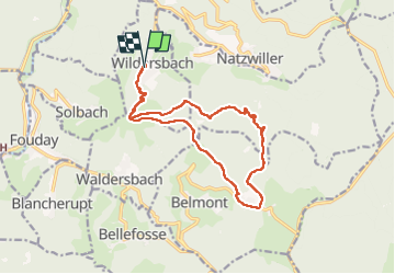
Wildersbach - col de la Perheux - cascade de la Serva - Champ du Feu

Bart2015
User


3h21
Difficulty : Medium

FREE GPS app for hiking
 SityTrail
IGN / Geographical institutes
SityTrail Plus
The world is yours!
About
Trail Walking of 15.2 km to be discovered at Grand Est, Bas-Rhin, Wildersbach. This trail is proposed by Bart2015.
Description
Randonnée au départ de Wildersbach pour rejoindre le col de la Perheux, rejoindre ensuite la belle cascade de la Serva avant de remonter par un beau sentier au Champ du Feu. Le retour au Col de la Perheux est l'occasion de petits arrêts pour déguster des myrtilles et pourquoi pas un petit arrêt à la ferme de la Bouille ...
Bonne rando ...
Remarques : l'accès à la Grotte du Déserteur est interdite par arrêté municipal. Autre départ peut-être plus sympa depuis le parking "Le Champ Antoine" au-dessus de Natzwiller ...
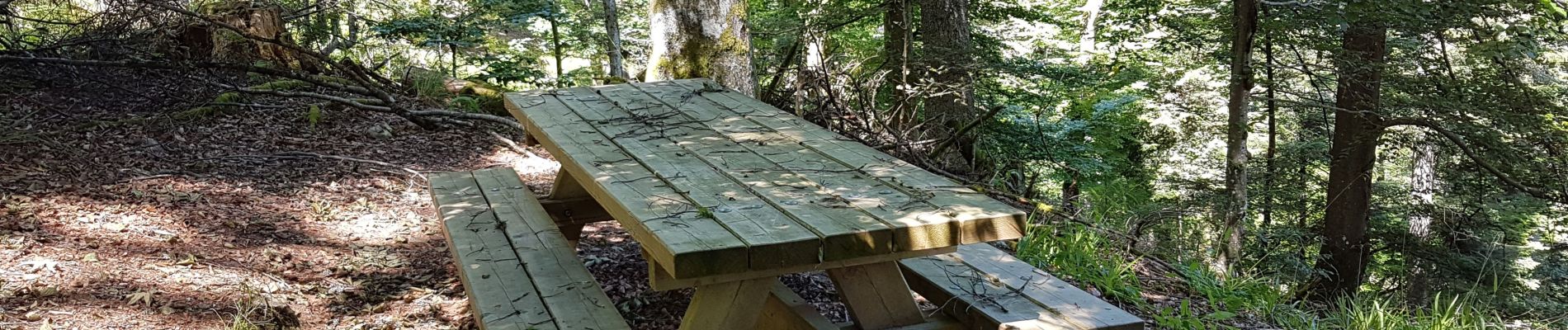
Photos


Positioning
Comments