


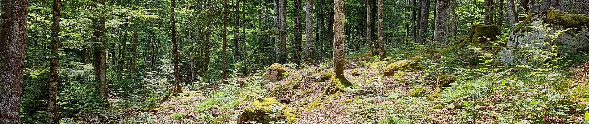
en partant de la citadelle vers Bellefontaine et ses pistes de ski, en terminant par les pichonniers.

fizz1212
User

Length
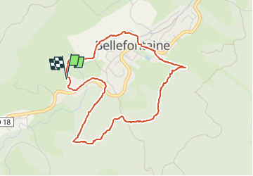
4.5 km

Max alt
1073 m

Uphill gradient
107 m
Km-Effort
5.9 km

Min alt
983 m

Downhill gradient
111 m
Boucle
Yes
Creation date :
2022-07-03 11:56:46.016
Updated on :
2022-07-03 13:58:19.397
1h58
Difficulty : Medium

FREE GPS app for hiking
 SityTrail
IGN / Geographical institutes
SityTrail Plus
The world is yours!
About
Trail Walking of 4.5 km to be discovered at Bourgogne-Franche-Comté, Jura, Bellefontaine. This trail is proposed by fizz1212.
Photos


Positioning
Country:
France
Region :
Bourgogne-Franche-Comté
Department/Province :
Jura
Municipality :
Bellefontaine
Location:
Unknown
Start:(Dec)
Start:(UTM)
274501 ; 5160009 (32T) N.
Comments