


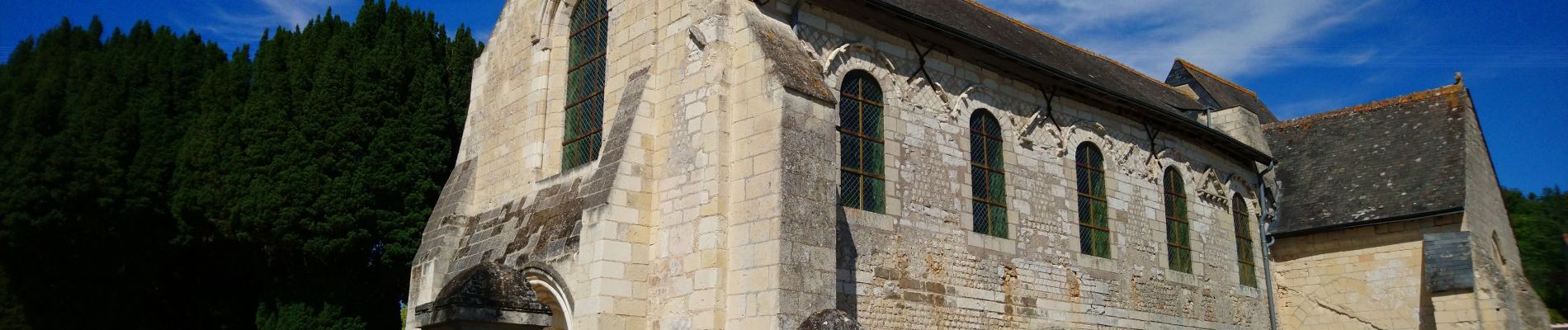
Cravant-les-Côteaux - GR48 les Loges - 24.7km 320m 5h40 - 2022 07 03

Orcal37
User GUIDE
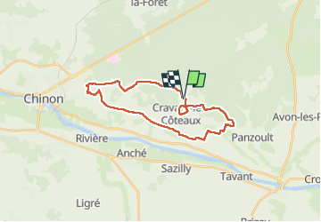

Length
25 km

Max alt
119 m

Uphill gradient
321 m
Km-Effort
29 km

Min alt
29 m

Downhill gradient
320 m
Boucle
Yes
Creation date :
2022-07-03 09:25:00.225
Updated on :
2022-07-03 17:16:37.958
5h40
Difficulty : Easy

FREE GPS app for hiking
 SityTrail
IGN / Geographical institutes
SityTrail Plus
The world is yours!
About
Trail Walking of 25 km to be discovered at Centre-Loire Valley, Indre-et-Loire, Cravant-les-Côteaux. This trail is proposed by Orcal37.
Description
Cravant-les-Côteaux - GR48 vers Panzoult puis vers les Loges (Chinon) puis retour GR48 - 24.7km 320m 5h40 - 2022 07 03
Photos


Positioning
Country:
France
Region :
Centre-Loire Valley
Department/Province :
Indre-et-Loire
Municipality :
Cravant-les-Côteaux
Location:
Unknown
Start:(Dec)
Start:(UTM)
299092 ; 5227053 (31T) N.
Comments