Trail Walking Saint-Pierre-de-Chartreuse - Table d’orientation de la SCIA - Photo
© OpenStreetMap contributors
Length
Length
7.3 km
Max alt
Max alt
1759 m
Uphill gradient
Uphill gradient
445 m
Km-Effort
Km-Effort  
13.3 km
Min alt
Min alt
1329 m
Downhill gradient
Downhill gradient
449 m
Boucle
Boucle
Yes
Creation date :
2022-07-06 08:25:45.0
Updated on :
2022-07-06 12:29:11.024

(0 Reviews)

Walking
Walking
3h31
Difficulty : Easy

Scan this QR Code to open this trail in the SityTrail application

FREE GPS app for hiking

Logo SityTrail SityTrail

IGN / Geographical institutes

Download SityTrail from the App Store Download SityTrail from Google Play

Logo SityTrail SityTrail Plus

The world is yours!

Download SityTrail from the App Store Download SityTrail from Google Play Download SityTrail on Huawei AppGallery

About

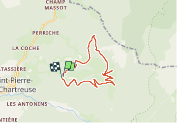
Trail Walking of 7.3 km to be discovered at Auvergne-Rhône-Alpes, Isère, Saint-Pierre-de-Chartreuse. This trail is proposed by choubaka77.

Description

Boucle accessible en famille. Départ avec la route forestière pour commencer et monter au sommet sans grande difficulté. Petite ascension pour accéder à la table d’orientation avec un superbe panorama.
Puis descente par un chemin agréable et très facile au début. Il faudra plus d’attention sur la fin. Bonne randonnée !
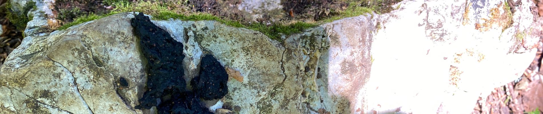
Elevation profile

Photos

22 photos in total. Please click on a photo to see them all in the gallery.

Positioning

Country:
France
Region :
Auvergne-Rhône-Alpes
Department/Province :
Isère
Municipality :
Saint-Pierre-de-Chartreuse
Location:
Unknown
Start:(UTM)
721918 ; 5025087 (31T) N.


Close
My subscriptions