


Gérardmer le Haut du Tôt

JeanPierreNancy
User
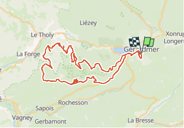

Length
48 km

Max alt
974 m

Uphill gradient
1401 m
Km-Effort
67 km

Min alt
623 m

Downhill gradient
1405 m
Boucle
Yes
Creation date :
2022-07-06 07:08:43.718
Updated on :
2022-07-06 12:56:45.732
4h00
Difficulty : Difficult

FREE GPS app for hiking
 SityTrail
IGN / Geographical institutes
SityTrail Plus
The world is yours!
About
Trail Mountain bike of 48 km to be discovered at Grand Est, Vosges, Gérardmer. This trail is proposed by JeanPierreNancy.
Description
Attention une partie du tracé passe en réserve biologique. Cette partie est interdite au vélo, mais n'est pas indiquée sur la carte.
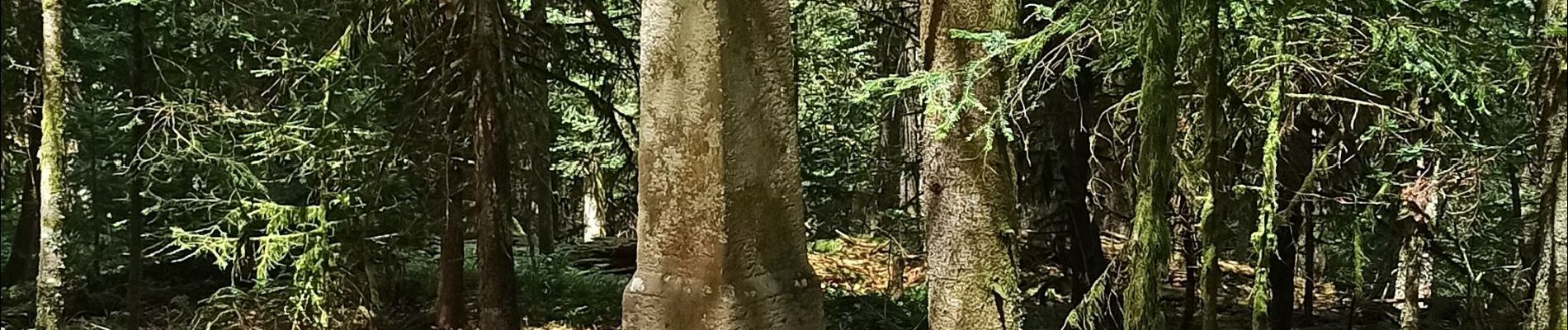
Photos


Positioning
Country:
France
Region :
Grand Est
Department/Province :
Vosges
Municipality :
Gérardmer
Location:
Unknown
Start:(Dec)
Start:(UTM)
341939 ; 5325896 (32U) N.
Comments