


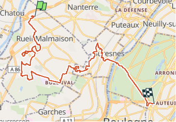


7.7 km | 10.3 km-effort

User


FREE GPS app for hiking
 SityTrail
IGN / Geographical institutes
SityTrail World
The world is yours!
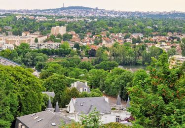
Trail Walking of 22 km to be discovered at Ile-de-France, Hauts-de-Seine, Rueil-Malmaison. This trail is proposed by chessyca.
Reconaissance de la rando du 30 juillet pour le RCY
- Ouverture du bois de Préau - 9h30
- ouverture du bois du domaine de Malmaison 10 h00
l'expo gratuite jusqu'au 31 octobre permet d'entrer dans le parc gratuitement


21 photos in total. Please click on a photo to see them all in the gallery.
Walking

Walking

On foot
Walking

Road bike
Walking
Walking
Walking

Walking