


SityTrail - Flavion etc

jeanphi.hennebert
User
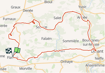

Length
48 km

Max alt
297 m

Uphill gradient
704 m
Km-Effort
57 km

Min alt
86 m

Downhill gradient
713 m
Boucle
Yes
Creation date :
2022-07-07 16:33:00.198
Updated on :
2022-07-11 16:09:44.709
3h56
Difficulty : Very difficult

FREE GPS app for hiking
 SityTrail
IGN / Geographical institutes
SityTrail Plus
The world is yours!
About
Trail Mountain bike of 48 km to be discovered at Wallonia, Namur, Florennes. This trail is proposed by jeanphi.hennebert.
Description
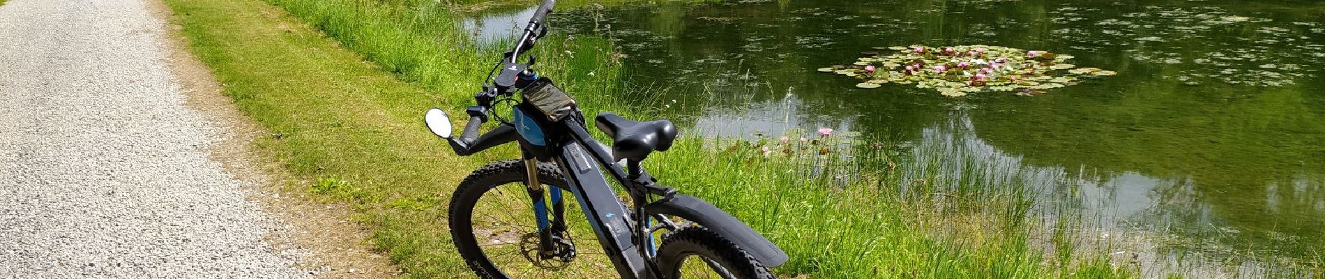
Circuit via Meuse 48kms
Photos


Points of interest


Positioning
Country:
Belgium
Region :
Wallonia
Department/Province :
Namur
Municipality :
Florennes
Location:
Unknown
Start:(Dec)
Start:(UTM)
622269 ; 5567908 (31U) N.
Comments