


Le tour du lac des mortes.

fizz1212
User


Length
4.2 km

Max alt
1142 m

Uphill gradient
67 m
Km-Effort
5.1 km

Min alt
1087 m

Downhill gradient
71 m
Boucle
Yes
Creation date :
2022-07-08 13:15:50.98
Updated on :
2022-07-09 08:07:49.092
1h40
Difficulty : Easy

FREE GPS app for hiking
 SityTrail
IGN / Geographical institutes
SityTrail Plus
The world is yours!
About
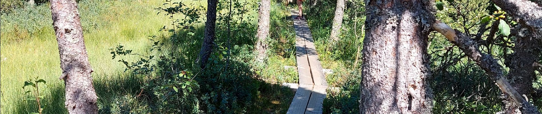
Trail Walking of 4.2 km to be discovered at Bourgogne-Franche-Comté, Doubs, Chapelle-des-Bois. This trail is proposed by fizz1212.
Photos


Positioning
Country:
France
Region :
Bourgogne-Franche-Comté
Department/Province :
Doubs
Municipality :
Chapelle-des-Bois
Location:
Unknown
Start:(Dec)
Start:(UTM)
277493 ; 5163004 (32T) N.
Comments