


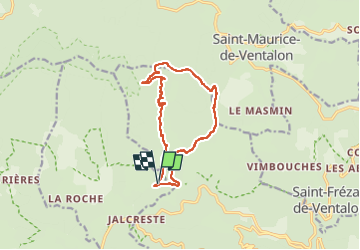

17.3 km | 23 km-effort

User


FREE GPS app for hiking
 SityTrail
IGN / Geographical institutes
SityTrail World
The world is yours!
Trail Walking of 13.8 km to be discovered at Occitania, Lozère, Saint-André-de-Lancize. This trail is proposed by oduriez.
version plus courte de l'autre balade du même nom.
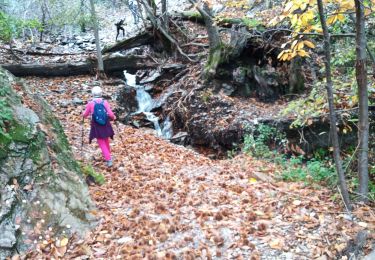
Pas de difficulté particulière si ce n'est la descente dans les bartasses à partir du petit col après le signal.
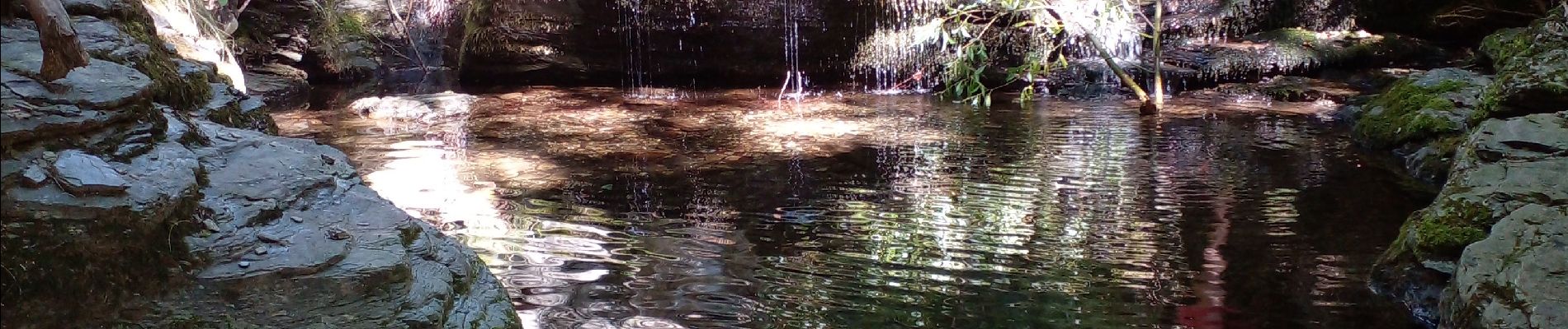
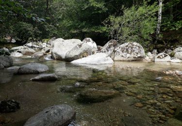
Ne manquez pas la petite trempette sous le pont de Rabiers


Walking
Walking
Walking
Walking
Walking
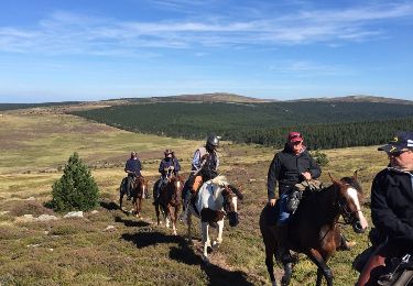
Equestrian
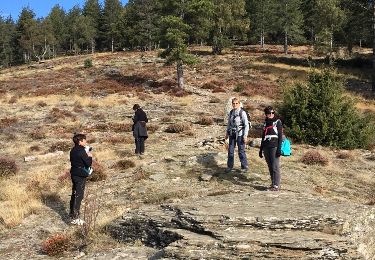

Walking
Walking