


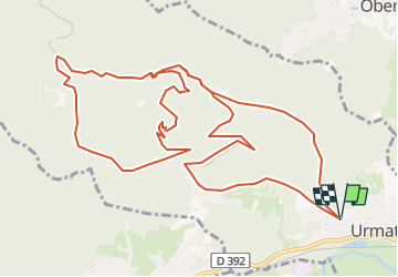


31 km | 42 km-effort

User


FREE GPS app for hiking
 SityTrail
IGN / Geographical institutes
SityTrail World
The world is yours!
Trail Walking of 14.9 km to be discovered at Grand Est, Bas-Rhin, Urmatt. This trail is proposed by Mich&Agnès.
Balade testée en juillet 2022 : il y a avait de l'eau à la cascade : cool!
Sens de marche à respecter - Fin de parcours aisément raccourcissable


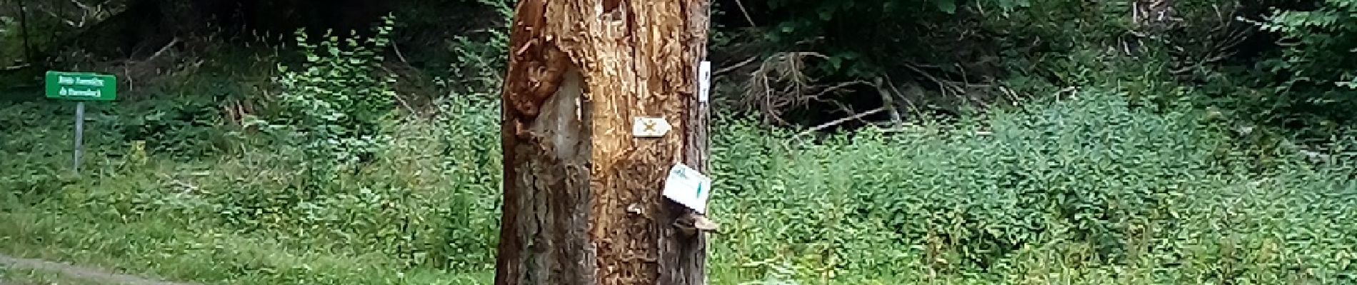
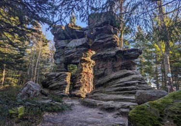
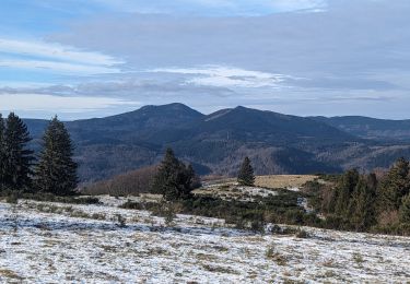
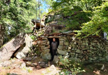
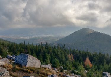
24 photos in total. Please click on a photo to see them all in the gallery.

Horseback riding

Walking

Mountain bike

Mountain bike
Walking
Walking
Horseback riding
Horseback riding
Walking
randonnée très variée. le sens de marche est nickel. la fin peut-être raccourcie sans problème.