


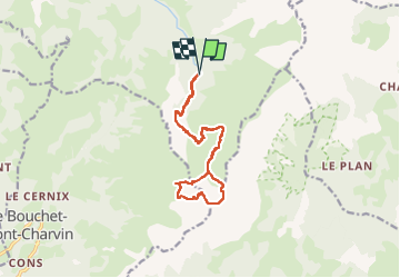
MONT CHARVIN RETOUR COL DU PORTHET

leclaude74
User


5h03
Difficulty : Very easy

FREE GPS app for hiking
 SityTrail
IGN / Geographical institutes
SityTrail Plus
The world is yours!
About
Trail Nordic walking of 14.4 km to be discovered at Auvergne-Rhône-Alpes, Upper Savoy, Manigod. This trail is proposed by leclaude74.
Description
départ parking des aiguilles jusqu au lac de Mont Charvin
on empreinte la via ferratta qui est bien matérialisée et ensuite boucle par le col du Porthet !
prévoir des bonnes chaussures de marche !
Positioning
Comments