


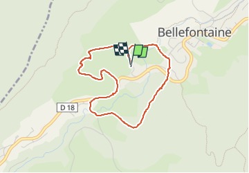
Autour de la citadelle.

fizz1212
User

Length
3.8 km

Max alt
1022 m

Uphill gradient
88 m
Km-Effort
5 km

Min alt
955 m

Downhill gradient
86 m
Boucle
Yes
Creation date :
2022-07-12 11:53:20.477
Updated on :
2022-07-12 12:58:00.498
1h04
Difficulty : Easy

FREE GPS app for hiking
 SityTrail
IGN / Geographical institutes
SityTrail Plus
The world is yours!
About
Trail Walking of 3.8 km to be discovered at Bourgogne-Franche-Comté, Jura, Bellefontaine. This trail is proposed by fizz1212.
Description
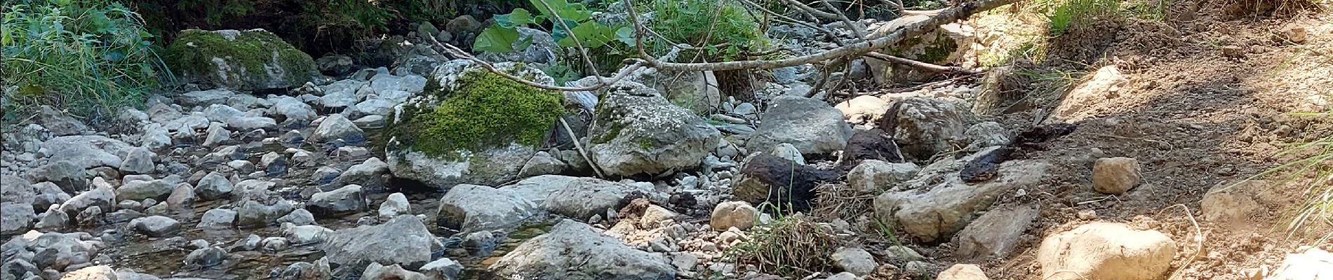
en partant de la citadelle par les prés, en passant par en chapeau et le bas de Bellefontaine et retour.
Photos


Positioning
Country:
France
Region :
Bourgogne-Franche-Comté
Department/Province :
Jura
Municipality :
Bellefontaine
Location:
Unknown
Start:(Dec)
Start:(UTM)
274501 ; 5159979 (32T) N.
Comments