


source bleue

mousetik
User
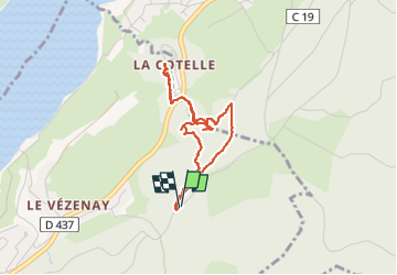

Length
3.6 km

Max alt
1005 m

Uphill gradient
164 m
Km-Effort
5.8 km

Min alt
870 m

Downhill gradient
164 m
Boucle
Yes
Creation date :
2022-07-13 08:53:02.295
Updated on :
2022-07-13 10:21:53.386
1h27
Difficulty : Very difficult

FREE GPS app for hiking
 SityTrail
IGN / Geographical institutes
SityTrail Plus
The world is yours!
About
Trail Walking of 3.6 km to be discovered at Bourgogne-Franche-Comté, Doubs, Malbuisson. This trail is proposed by mousetik.
Description
aller par le haut et back to the wild (non recommandé)
Positioning
Country:
France
Region :
Bourgogne-Franche-Comté
Department/Province :
Doubs
Municipality :
Malbuisson
Location:
Unknown
Start:(Dec)
Start:(UTM)
295665 ; 5186967 (32T) N.
Comments