


Sortie du 14/07/2022

VANDERPUTTENMi
User GUIDE
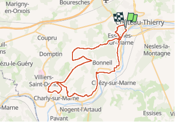

Length
36 km

Max alt
213 m

Uphill gradient
664 m
Km-Effort
45 km

Min alt
53 m

Downhill gradient
666 m
Boucle
Yes
Creation date :
2022-07-14 06:45:17.385
Updated on :
2022-07-14 12:49:10.678
2h12
Difficulty : Very difficult

FREE GPS app for hiking
 SityTrail
IGN / Geographical institutes
SityTrail Plus
The world is yours!
About
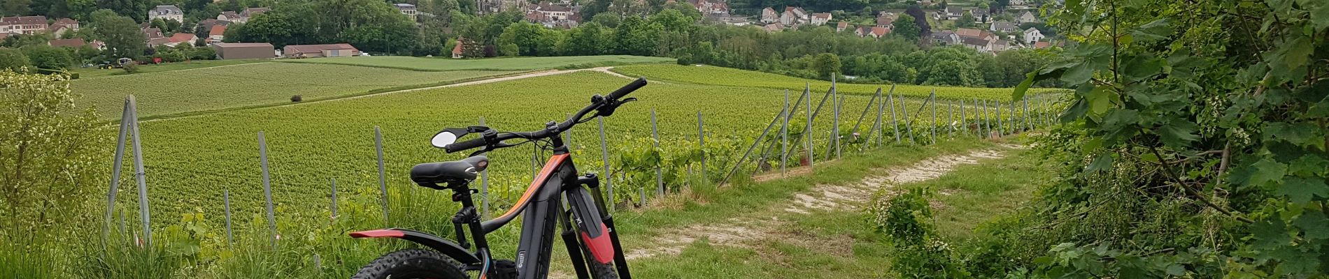
Trail Mountain bike of 36 km to be discovered at Hauts-de-France, Aisne, Château-Thierry. This trail is proposed by VANDERPUTTENMi.
Photos

Positioning
Country:
France
Region :
Hauts-de-France
Department/Province :
Aisne
Municipality :
Château-Thierry
Location:
Unknown
Start:(Dec)
Start:(UTM)
527939 ; 5431962 (31U) N.
Comments