


sources du tarn

lablaquiere
User
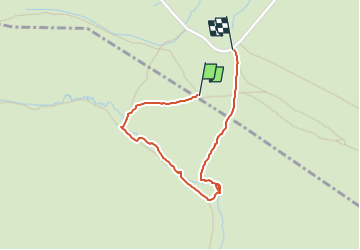

Length
1.5 km

Max alt
1559 m

Uphill gradient
32 m
Km-Effort
1.9 km

Min alt
1523 m

Downhill gradient
37 m
Boucle
Yes
Creation date :
2022-07-15 08:36:29.188
Updated on :
2022-07-15 09:23:08.386
27m
Difficulty : Easy

FREE GPS app for hiking
 SityTrail
IGN / Geographical institutes
SityTrail Plus
The world is yours!
About
Trail Walking of 1.5 km to be discovered at Occitania, Lozère, Altier. This trail is proposed by lablaquiere.
Positioning
Country:
France
Region :
Occitania
Department/Province :
Lozère
Municipality :
Altier
Location:
Unknown
Start:(Dec)
Start:(UTM)
565490 ; 4918324 (31T) N.
Comments