


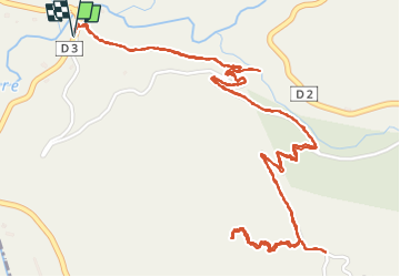

21 km | 41 km-effort

User


FREE GPS app for hiking
 SityTrail
IGN / Geographical institutes
SityTrail World
The world is yours!
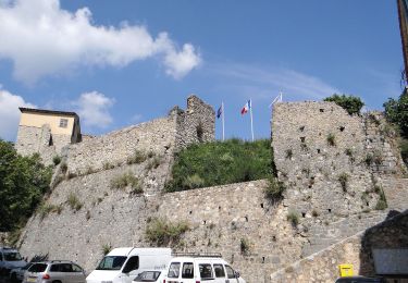
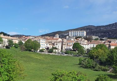
Trail Walking of 4.8 km to be discovered at Provence-Alpes-Côte d'Azur, Maritime Alps, Gréolières. This trail is proposed by pln30.
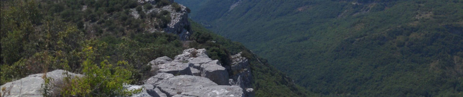
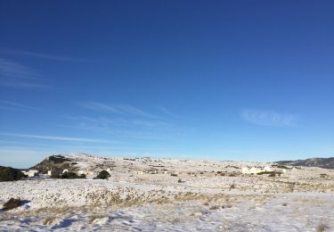
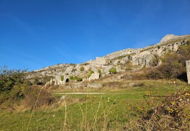
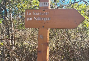
promenade ombragée et tranquille jusqu'à un peu avant la balise 170 où on bifurquera au niveau des cairns pour s'élever rapidement jusqu'au sommet du bau de St Jean offrant un magnifique paysage. éviter la période de chasse sur ce parcours, car peu de randonneurs mais beaucoup de gibier et de chasseurs.
retrouvez en vidéos cette rando sur ma chaîne Youtube AIR View Channel.


On foot
On foot
On foot

On foot
On foot
On foot
Walking
Walking
Walking