


Roches du Valtin et cascade du Rudlin

geoffrayLayeux
User
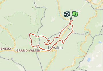

Length
14.7 km

Max alt
1128 m

Uphill gradient
735 m
Km-Effort
24 km

Min alt
700 m

Downhill gradient
728 m
Boucle
Yes
Creation date :
2022-07-19 17:00:20.409
Updated on :
2022-07-19 17:02:18.822
5h33
Difficulty : Very difficult

FREE GPS app for hiking
 SityTrail
IGN / Geographical institutes
SityTrail Plus
The world is yours!
About
Trail Walking of 14.7 km to be discovered at Grand Est, Vosges, Plainfaing. This trail is proposed by geoffrayLayeux.
Positioning
Country:
France
Region :
Grand Est
Department/Province :
Vosges
Municipality :
Plainfaing
Location:
Unknown
Start:(Dec)
Start:(UTM)
354332 ; 5331546 (32U) N.
Comments