


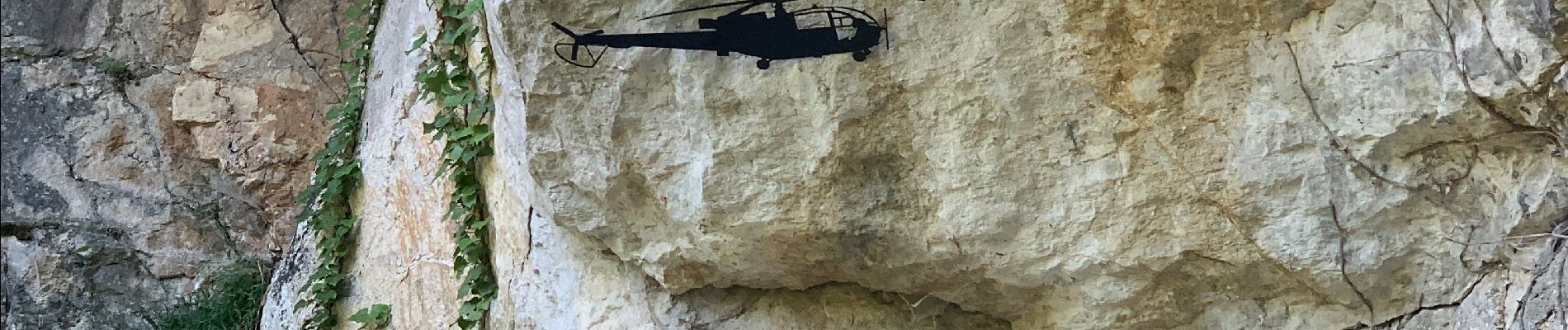
Cirque du Bournillon

pconte
User
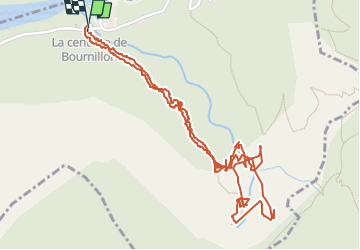

Length
3.5 km

Max alt
739 m

Uphill gradient
442 m
Km-Effort
9.4 km

Min alt
316 m

Downhill gradient
449 m
Boucle
Yes
Creation date :
2022-07-22 08:36:44.0
Updated on :
2022-07-22 11:24:37.313
2h15
Difficulty : Medium

FREE GPS app for hiking
 SityTrail
IGN / Geographical institutes
SityTrail Plus
The world is yours!
About
Trail Walking of 3.5 km to be discovered at Auvergne-Rhône-Alpes, Isère, Châtelus. This trail is proposed by pconte.
Photos


Positioning
Country:
France
Region :
Auvergne-Rhône-Alpes
Department/Province :
Isère
Municipality :
Châtelus
Location:
Unknown
Start:(Dec)
Start:(UTM)
691066 ; 4992525 (31T) N.
Comments