


golhinac-conques

fab0202
User
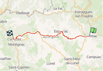

Length
22 km

Max alt
675 m

Uphill gradient
426 m
Km-Effort
29 km

Min alt
294 m

Downhill gradient
802 m
Boucle
No
Creation date :
2022-07-22 05:52:50.05
Updated on :
2022-07-22 12:09:16.067
5h12
Difficulty : Medium

FREE GPS app for hiking
 SityTrail
IGN / Geographical institutes
SityTrail Plus
The world is yours!
About
Trail Walking of 22 km to be discovered at Occitania, Aveyron, Golinhac. This trail is proposed by fab0202.
Description
belle rando sur les hauteurs avec la decouverte d espeyrac et sennergues.
Positioning
Country:
France
Region :
Occitania
Department/Province :
Aveyron
Municipality :
Golinhac
Location:
Unknown
Start:(Dec)
Start:(UTM)
466557 ; 4939022 (31T) N.
Comments