


St-Derrien randonnée vers Moulin de Lansolot

mrimri
User
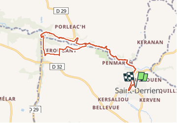

Length
9 km

Max alt
83 m

Uphill gradient
136 m
Km-Effort
10.8 km

Min alt
44 m

Downhill gradient
136 m
Boucle
Yes
Creation date :
2022-07-22 12:13:57.0
Updated on :
2022-07-22 16:42:26.318
2h04
Difficulty : Easy

FREE GPS app for hiking
 SityTrail
IGN / Geographical institutes
SityTrail Plus
The world is yours!
About
Trail Walking of 9 km to be discovered at Brittany, Finistère, Saint-Derrien. This trail is proposed by mrimri.
Description
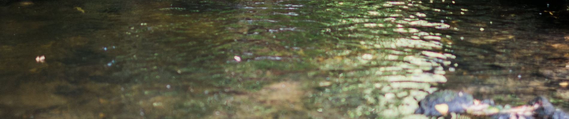
En Juillet , quasiment pas humide ...
Photos


Positioning
Country:
France
Region :
Brittany
Department/Province :
Finistère
Municipality :
Saint-Derrien
Location:
Unknown
Start:(Dec)
Start:(UTM)
412798 ; 5377918 (30U) N.
Comments