


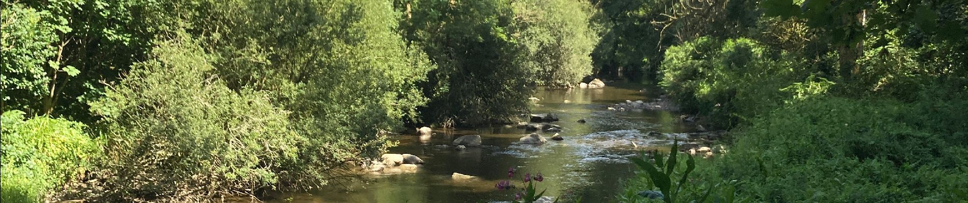
Pontrieux GR des moulins

ash
User
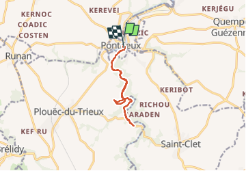

Length
9.9 km

Max alt
68 m

Uphill gradient
165 m
Km-Effort
12.1 km

Min alt
6 m

Downhill gradient
167 m
Boucle
Yes
Creation date :
2022-07-22 14:13:49.0
Updated on :
2022-07-22 16:53:22.613
2h30
Difficulty : Easy

FREE GPS app for hiking
 SityTrail
IGN / Geographical institutes
SityTrail Plus
The world is yours!
About
Trail Walking of 9.9 km to be discovered at Brittany, Côtes-d'Armor, Pontrieux. This trail is proposed by ash.
Photos

Positioning
Country:
France
Region :
Brittany
Department/Province :
Côtes-d'Armor
Municipality :
Pontrieux
Location:
Unknown
Start:(Dec)
Start:(UTM)
488089 ; 5393807 (30U) N.
Comments