


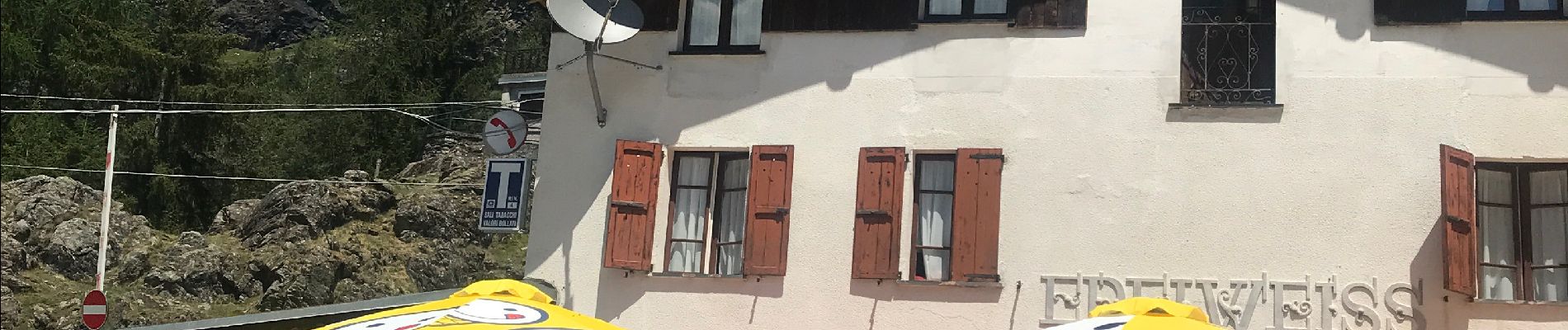
Franscia
© OpenStreetMap contributors


4h12
Difficulty : Difficult


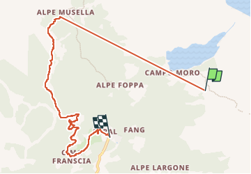
Length
9.6 km
Max alt
2253 m
Uphill gradient
497 m
Km-Effort
18.1 km
Min alt
1496 m
Downhill gradient
1053 m
Boucle
No
Creation date :
2022-07-16 07:32:19.0
Updated on :
2022-07-23 07:03:21.044
4h12
Difficulty : Difficult
FREE GPS app for hiking
 SityTrail
IGN / Geographical institutes
SityTrail Plus
The world is yours!
About
Trail Walking of 9.6 km to be discovered at Lombardy, Sondrio, Lanzada. This trail is proposed by 001684.da93e47b4c1543cdba58b05a314a4094.1618.
Description
Auberge
Photos


Positioning
Country:
Italy
Region :
Lombardy
Department/Province :
Sondrio
Municipality :
Lanzada
Location:
Unknown
Start:(Dec)
Start:(UTM)
572117 ; 5127879 (32T) N.
Comments