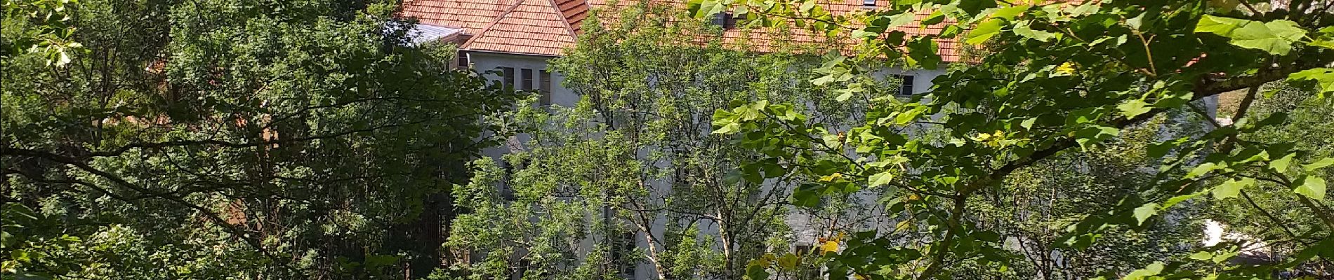
Trail Walking Consolation-Maisonnettes - petite Consolation  - Photo
© OpenStreetMap contributors
Length
Length
12.2 km
Max alt
Max alt
822 m
Uphill gradient
Uphill gradient
443 m
Km-Effort
Km-Effort  
18.1 km
Min alt
Min alt
494 m
Downhill gradient
Downhill gradient
444 m
Boucle
Boucle
Yes
Creation date :
2022-07-24 07:38:06.367
Updated on :
2023-03-25 16:54:10.844

(1 Reviews)

Walking
Walking
2h08
Difficulty : Medium

Scan this QR Code to open this trail in the SityTrail application

FREE GPS app for hiking

Logo SityTrail SityTrail

IGN / Geographical institutes

Download SityTrail from the App Store Download SityTrail from Google Play

Logo SityTrail SityTrail Plus

The world is yours!

Download SityTrail from the App Store Download SityTrail from Google Play Download SityTrail on Huawei AppGallery

About

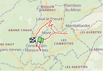
Trail Walking of 12.2 km to be discovered at Bourgogne-Franche-Comté, Doubs, Consolation-Maisonnettes. This trail is proposed by eltonnermou.

Description

distance réelle 10km pour un dénivelé légèrement moindre
Belle randonnée "autour" d'un cirque fort agréable. Les points de vue (en fonction de la saison) sont très beaux. Attention, certains passes très engageants de la descente sur Consolation, en fin de parcours nécessitent des bâtons.
Laissez-vous surprendre par la nature : flore et animale
Le détour en aller-retour, à la ferme "chaucheux", n'apporte aucun plus, d'où les -2km sur la distance enregistrée

Elevation profile

Photos

Positioning

Country:
France
Region :
Bourgogne-Franche-Comté
Department/Province :
Doubs
Municipality :
Consolation-Maisonnettes
Location:
Unknown
Start:(UTM)
318524 ; 5225573 (32T) N.

Comments

Please log in to post a review or rate the element


Close
My subscriptions