


Molines jusqu’à Ville Vieille

rochedaniel
User
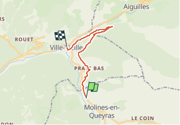

Length
9.3 km

Max alt
1703 m

Uphill gradient
97 m
Km-Effort
11.6 km

Min alt
1382 m

Downhill gradient
416 m
Boucle
No
Creation date :
2022-07-25 12:45:49.0
Updated on :
2022-07-25 16:54:28.215
2h28
Difficulty : Medium

FREE GPS app for hiking
 SityTrail
IGN / Geographical institutes
SityTrail Plus
The world is yours!
About
Trail Walking of 9.3 km to be discovered at Provence-Alpes-Côte d'Azur, Hautes-Alpes, Molines-en-Queyras. This trail is proposed by rochedaniel.
Description
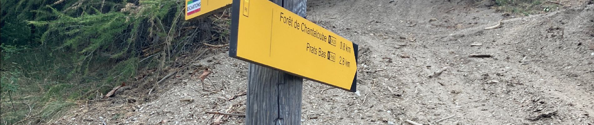
Par la piste vers Aiguilles
Photos


Positioning
Country:
France
Region :
Provence-Alpes-Côte d'Azur
Department/Province :
Hautes-Alpes
Municipality :
Molines-en-Queyras
Location:
Unknown
Start:(Dec)
Start:(UTM)
328526 ; 4955928 (32T) N.
Comments