


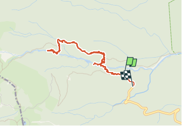

17.3 km | 37 km-effort

User GUIDE


FREE GPS app for hiking
 SityTrail
IGN / Geographical institutes
SityTrail World
The world is yours!
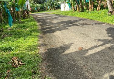
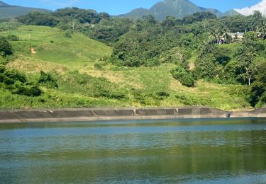
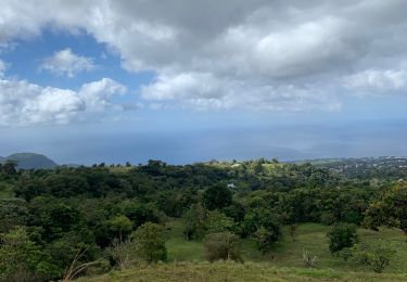
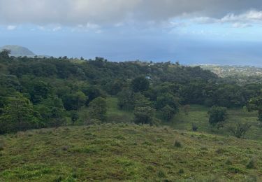
Trail Walking of 6.7 km to be discovered at Guadeloupe, Unknown, Capesterre-Belle-Eau. This trail is proposed by David25400.
top rando !!
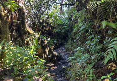
jungle 😍😍❤️
5€15 l'entrée par contre.
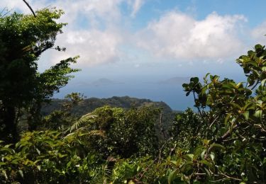
mais les cascades valent le coup ! la rando aussi. sur les pentes de la souffriere.
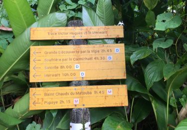
possibilité de démarrer à la troisième chute et ne pas payer ou alors une boucle depuis le parking des bains jaunes, passer par le col de l'échelle. redescendre et tour remonter. belle grosse rando pour les motivés 💪
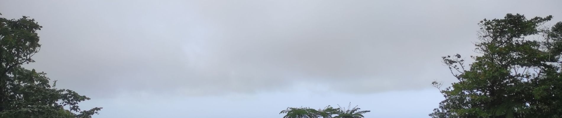
deux paliers pour la 2eme chute donc attendre qu'elle se dégage avant de repartir ! de la brume en arrivant.


Other activity

Walking
Walking
Trail
Trail
Walking
Walking
Trail
Running