


Boucle Port de Paimpol pointe de Guilben

ash
User
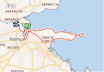

Length
7.8 km

Max alt
30 m

Uphill gradient
80 m
Km-Effort
8.8 km

Min alt
-1 m

Downhill gradient
79 m
Boucle
Yes
Creation date :
2022-07-26 14:50:02.0
Updated on :
2022-07-26 17:36:23.327
1h50
Difficulty : Easy

FREE GPS app for hiking
 SityTrail
IGN / Geographical institutes
SityTrail Plus
The world is yours!
About
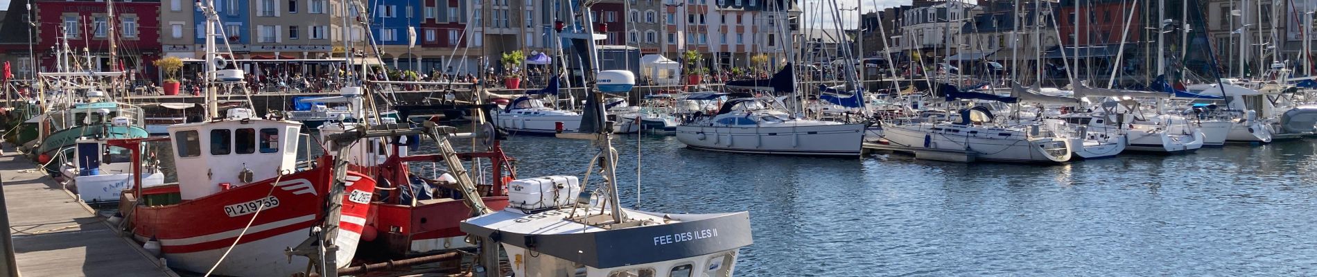
Trail Walking of 7.8 km to be discovered at Brittany, Côtes-d'Armor, Paimpol. This trail is proposed by ash.
Photos


Positioning
Country:
France
Region :
Brittany
Department/Province :
Côtes-d'Armor
Municipality :
Paimpol
Location:
Unknown
Start:(Dec)
Start:(UTM)
496707 ; 5403230 (30U) N.
Comments