


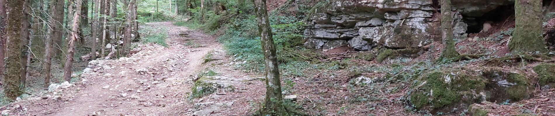
RANDONNEE A LA SOURCE DE LA LOUE

walrou63
User
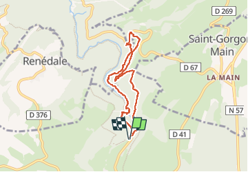

Length
6.7 km

Max alt
725 m

Uphill gradient
299 m
Km-Effort
10.7 km

Min alt
525 m

Downhill gradient
300 m
Boucle
Yes
Creation date :
2022-07-28 12:28:01.904
Updated on :
2022-07-31 08:58:12.266
1h45
Difficulty : Difficult

FREE GPS app for hiking
 SityTrail
IGN / Geographical institutes
SityTrail Plus
The world is yours!
About
Trail Walking of 6.7 km to be discovered at Bourgogne-Franche-Comté, Doubs, Ouhans. This trail is proposed by walrou63.
Photos


22 photos in total. Please click on a photo to see them all in the gallery.
Positioning
Country:
France
Region :
Bourgogne-Franche-Comté
Department/Province :
Doubs
Municipality :
Ouhans
Location:
Unknown
Start:(Dec)
Start:(UTM)
294732 ; 5209457 (32T) N.
Comments