


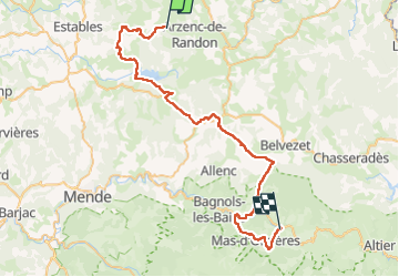


90 km | 113 km-effort

User


FREE GPS app for hiking
 SityTrail
IGN / Geographical institutes
SityTrail World
The world is yours!
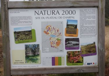
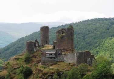
Trail Mountain bike of 54 km to be discovered at Occitania, Lozère, Arzenc-de-Randon. This trail is proposed by jl77130.


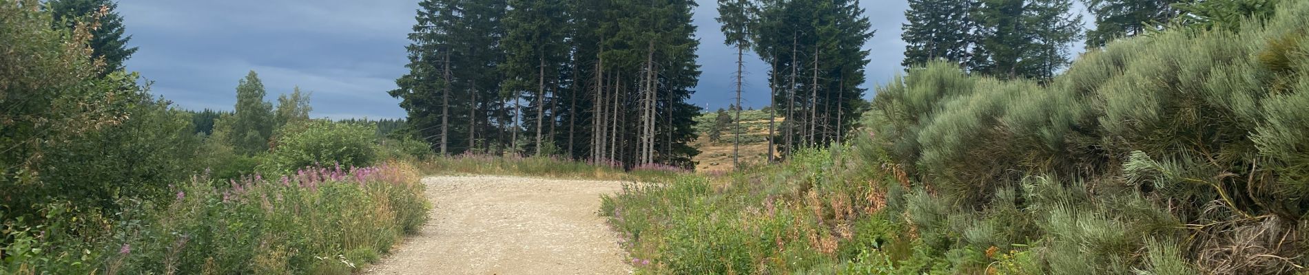
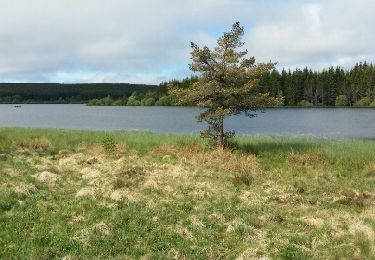
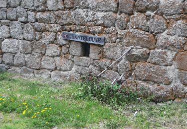
39 photos in total. Please click on a photo to see them all in the gallery.

Mountain bike
Walking

Walking
Walking
Walking
Mountain bike

Fishing

Horseback riding
Horseback riding