


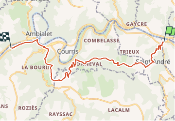


18.8 km | 27 km-effort

User


FREE GPS app for hiking
 SityTrail
IGN / Geographical institutes
SityTrail World
The world is yours!
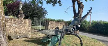
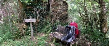
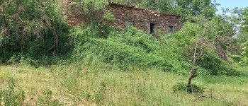
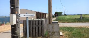
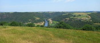
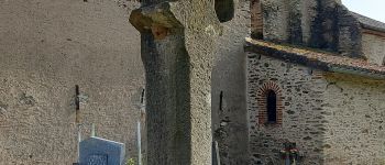
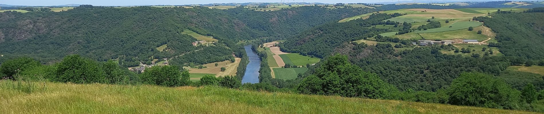
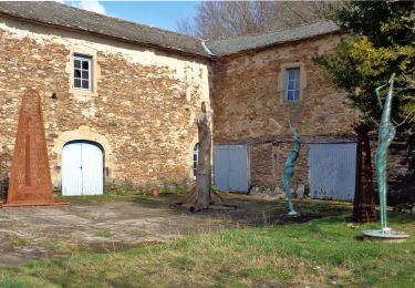
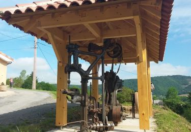
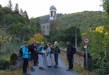
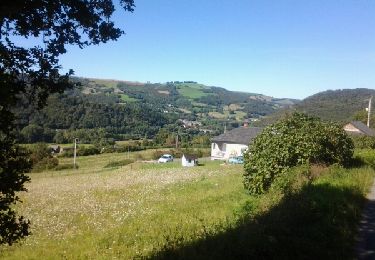
Trail Walking of 16.4 km to be discovered at Occitania, Tarn, Curvalle. This trail is proposed by canardDenis.

Walking
Walking
Walking

On foot

Walking
On foot
Walking
Walking