


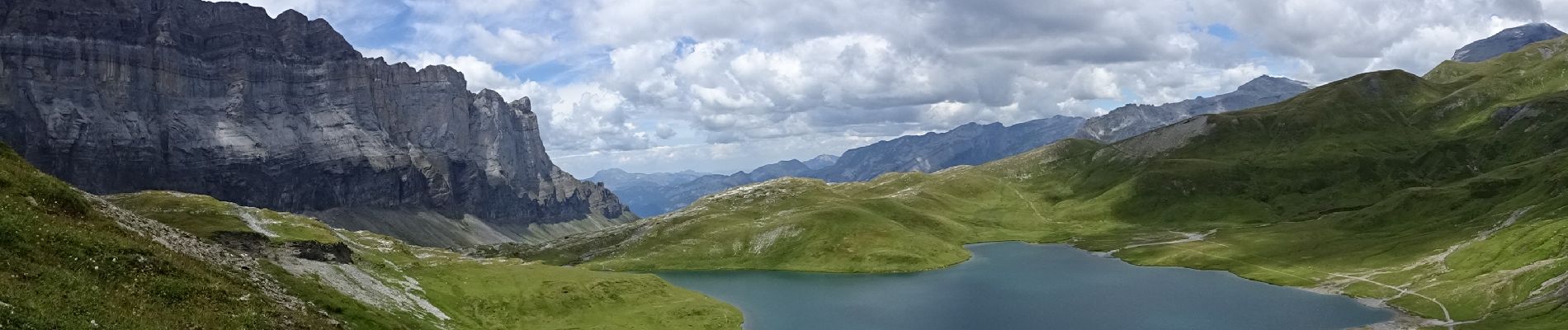
lac d'anterne - Passy

bob2023
User


Length
21 km

Max alt
2250 m

Uphill gradient
1209 m
Km-Effort
37 km

Min alt
1295 m

Downhill gradient
1219 m
Boucle
Yes
Creation date :
2022-07-30 07:30:40.956
Updated on :
2022-12-24 09:56:26.69
7h09
Difficulty : Difficult

FREE GPS app for hiking
 SityTrail
IGN / Geographical institutes
SityTrail Plus
The world is yours!
About
Trail Walking of 21 km to be discovered at Auvergne-Rhône-Alpes, Upper Savoy, Passy. This trail is proposed by bob2023.
Photos


Positioning
Country:
France
Region :
Auvergne-Rhône-Alpes
Department/Province :
Upper Savoy
Municipality :
Passy
Location:
Unknown
Start:(Dec)
Start:(UTM)
324895 ; 5091023 (32T) N.
Comments