


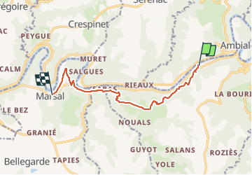


8.7 km | 12.5 km-effort

User


FREE GPS app for hiking
 SityTrail
IGN / Geographical institutes
SityTrail World
The world is yours!
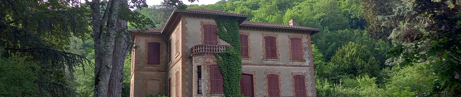
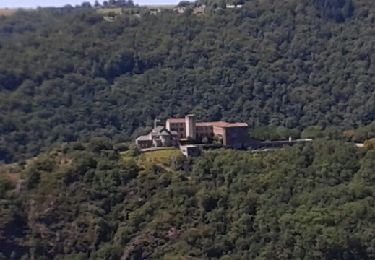
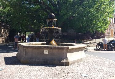
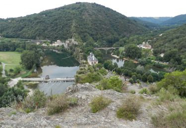
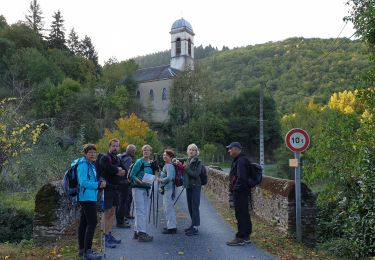
Trail Walking of 9.8 km to be discovered at Occitania, Tarn, Ambialet. This trail is proposed by canardDenis.
Dernière étape de notre randonnée le long du Tarn depuis ses sources. depuis Ambialet, un dernier tour au-dessus de son cours un peu paresseux, une dernière boucle vres la Maurissié pour accompagner ses circonvolutions et la fin du parcours dans un petit village tranquille aux portes des zones industrielle et commerciales d'ALBI.

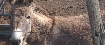
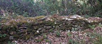
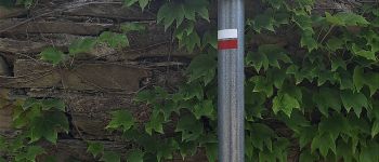
Walking

Walking
Walking
Walking
Walking
Mountain bike
