


Soria-Elena/Valmasque

pradines001
User
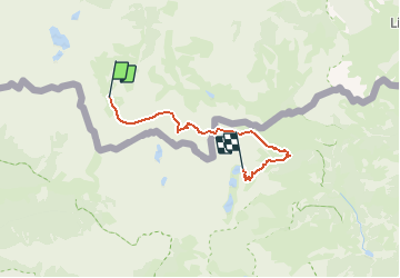

Length
16.7 km

Max alt
2731 m

Uphill gradient
1904 m
Km-Effort
41 km

Min alt
1828 m

Downhill gradient
1520 m
Boucle
No
Creation date :
2014-12-10 00:00:00.0
Updated on :
2014-12-10 00:00:00.0
6h00
Difficulty : Medium

FREE GPS app for hiking
 SityTrail
IGN / Geographical institutes
SityTrail Plus
The world is yours!
About
Trail Running of 16.7 km to be discovered at Piemont, Cuneo, Entracque. This trail is proposed by pradines001.
Description
Par Refuge Pagari et col de l'Agnel
Positioning
Country:
Italy
Region :
Piemont
Department/Province :
Cuneo
Municipality :
Entracque
Location:
Unknown
Start:(Dec)
Start:(UTM)
369156 ; 4888701 (32T) N.
Comments