


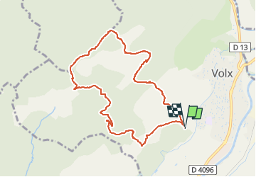

16.2 km | 24 km-effort

User


FREE GPS app for hiking
 SityTrail
IGN / Geographical institutes
SityTrail World
The world is yours!
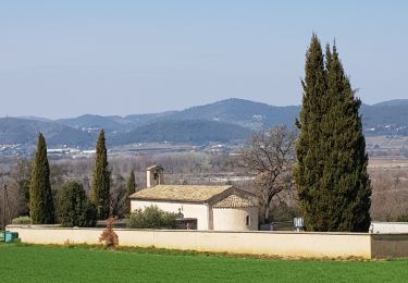
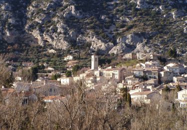
Trail Trail of 9.2 km to be discovered at Provence-Alpes-Côte d'Azur, Alpes-de-Haute-Provence, Volx. This trail is proposed by francislassauce.
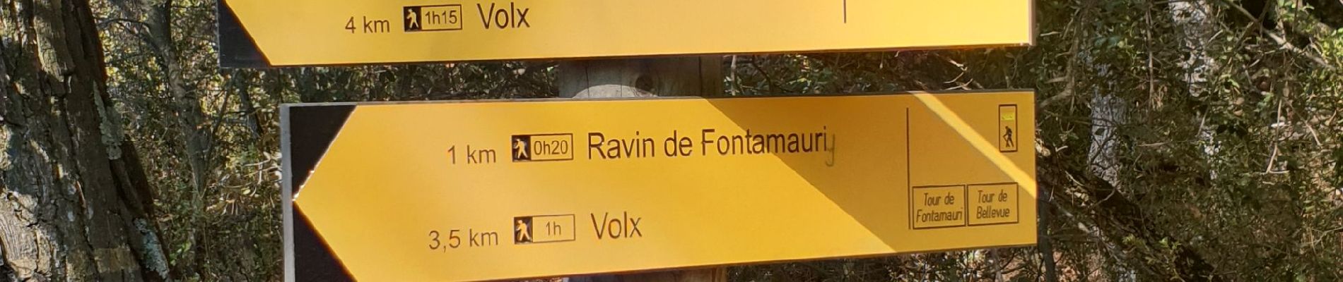
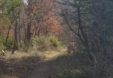
montée sur un single dans les cailloux.
descente plus praticable sur un DFCI.
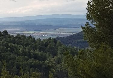
jolie vues au sommet


Mountain bike

Walking
Walking
Walking
Walking
Walking
Walking
Walking
On foot